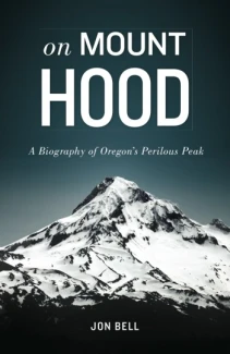
Labor Day Weekend 2019 on Mount Hood
Summer’s going to fade fast. We know it is.
So around here, we do our best to make the most of all that we can, even if it sometimes makes us a little rough around the edges. Case in point: A three-day weekend on Mount Hood at the close of the first week of school.
We headed to a favorite area near the Sandy River and Zigzag, which was super crowded but not entirely crammed. It served as our home base for the weekend, which found us doing everything from picking early huckleberries, shooting BB guns and exploring a now-off-limits Sandy River beach to taking in “The Princess Bride” at Mt. Hood Meadows, hiking Tamanawas Falls and enjoying a tribute to the Grateful Dead at Timberline Lodge during their annual Mountain Music Fest.
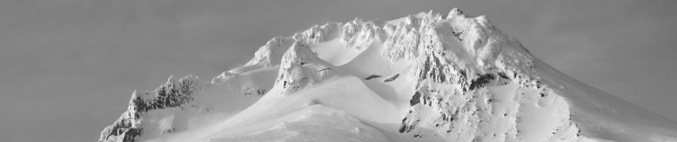
The weather was amazing, the mountain bare but scenic and all of us having an escape that we’ll be thinking about once all this sunshine fades and we’re bundled up inside on a sofa in late January.
A few photos to illustrate the weekend:

Our secret Sandy River spot remains.

Picking huckleberries near the Sandy River.

Watching “The Princess Bride” like we’re at the drive-in at Mt. Hood Meadows.

This is when we first hiked Tamanawas Falls all together in 2012.

And here they are today.

Madeline’s Tamanawas selfie.

Timberline’s Mountain Music Fest.
Stubborn writers on the Timberline Trail and Mount Hood
It is a spell that comes once you’ve finished walking all the way around Mount Hood. I’ve experienced it twice now, and I’m pretty sure that’s the right word for it. A spell.
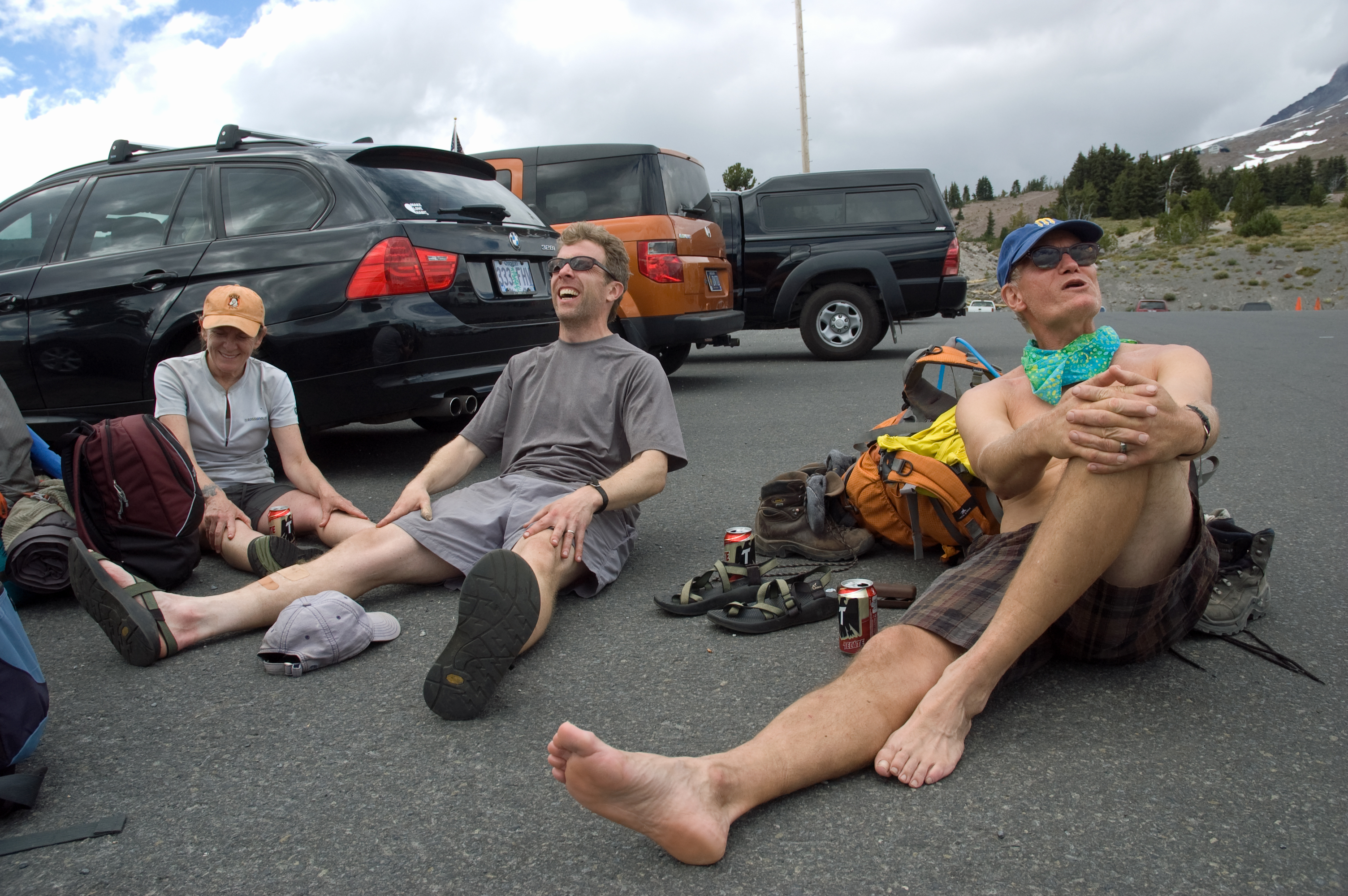
When you are done, or maybe just before, as you’re swinging one foot in front of the other for the last quarter mile or so before you get close enough to Timberline Lodge to start crossing paths with folks out for a leisurely stroll, you are in a mental and, really, a physical place that belongs only to you and those who are there with you. This is your mountain. This has been your four-day, 41-mile trek. The rest were not part of this experience. As much as you may want a cold beer and a hot meal, you don’t want to hear the cars, see the iPhone-locked gazes, think about the work and the responsibility and the real world that awaits.
You want, instead, to drop your pack in the parking lot and crumple to the asphalt. You want to listen, all of you together, to the ice that is somehow still slushing around in the cooler and taste the cold Tecate. You want to prolong the sensation that you’re still on the Timberline Trail, under that spell, and so, even though it is bound to break at some point, you do.
By the time I set my foot on the Timberline Trail just behind Timberline Lodge again in August 2013, it had been eight years since Amy and I set out on the very same trip back in 2005. Not the exact same trip, though. One thing I realized after the second time around: you’ll never have the same experience on the Timberline Trail, no matter how many times you do it.

No kids, no job. Camping near Cooper Spur during a five-day trip on the Timberline Trail in 2005.
This one came about thanks to Portland writer Mark Pomeroy, a lifelong Mount Hood fan who’d connected with me after reading On Mount Hood when it first came out in 2011. At work on a novel set largely on the mountain himself, Mark invited me early to accompany him on a circuit of the mountain along with a few other writers: poet John Morrison and novelist and writing teacher Joanna Rose, someone I’d gotten to know through Brave on the Page.
When Amy and I finished the Timberline Trail in 2005, it felt like something I’d crossed off my list, that I’d never need to do again. But in Mark’s invite, there was a pull to revisit that I couldn’t resist.
We set out on August 24, an incredible summer day on Mount Hood — but not as a team. I’d been invited to a book signing event at Timberline the same day, so my plan was to catch up with the crew at the first night’s campsite along the Sandy River. Morrison’s 21-year-old son, Jackson, who joined in as well, had accidentally grabbed the wrong boots that morning. I picked up the right ones for him before I left Portland, and after the book event, he and I set out.
We got a late start, not hitting the trail even until 3 p.m., so we hoofed it but still took in so much: incredible scenery, stories from friendly PCT and Timberline hikers, unreal moments of natural beauty. A few of the latter, before we met up with the crew on the other side of the Sandy River:

Fading bear grass near Zigzag Canyon.
Mount Hood from just beyond Paradise Park.

Crossing the Sandy River with a PCT hiker who’d been on the trail since April.
The beginning of day two dawned cloudy and heavy, not like a normal August morning in Oregon. But on the mountain, you never know. Breakfast and breakdown got us on the trail a little later than we’d idealized, but at that point, we had the whole day in front of us: Ramona Falls, the Muddy Fork, McNeil Point, Cairn Basin.
I’d not been back to Ramona Falls in years. It was every bit as majestic as I remembered. We stopped to fill our water bottles and soak it in. Morrison chose just the right word to describe the falls: luminescent.

The first 7 or so miles that we initially set out to hike that second day were quiet and enjoyable. We clambered across the Muddy Fork on a huge double-tree bridge and broke for the first of many canned meats just after the first sprinkles had started then stopped.

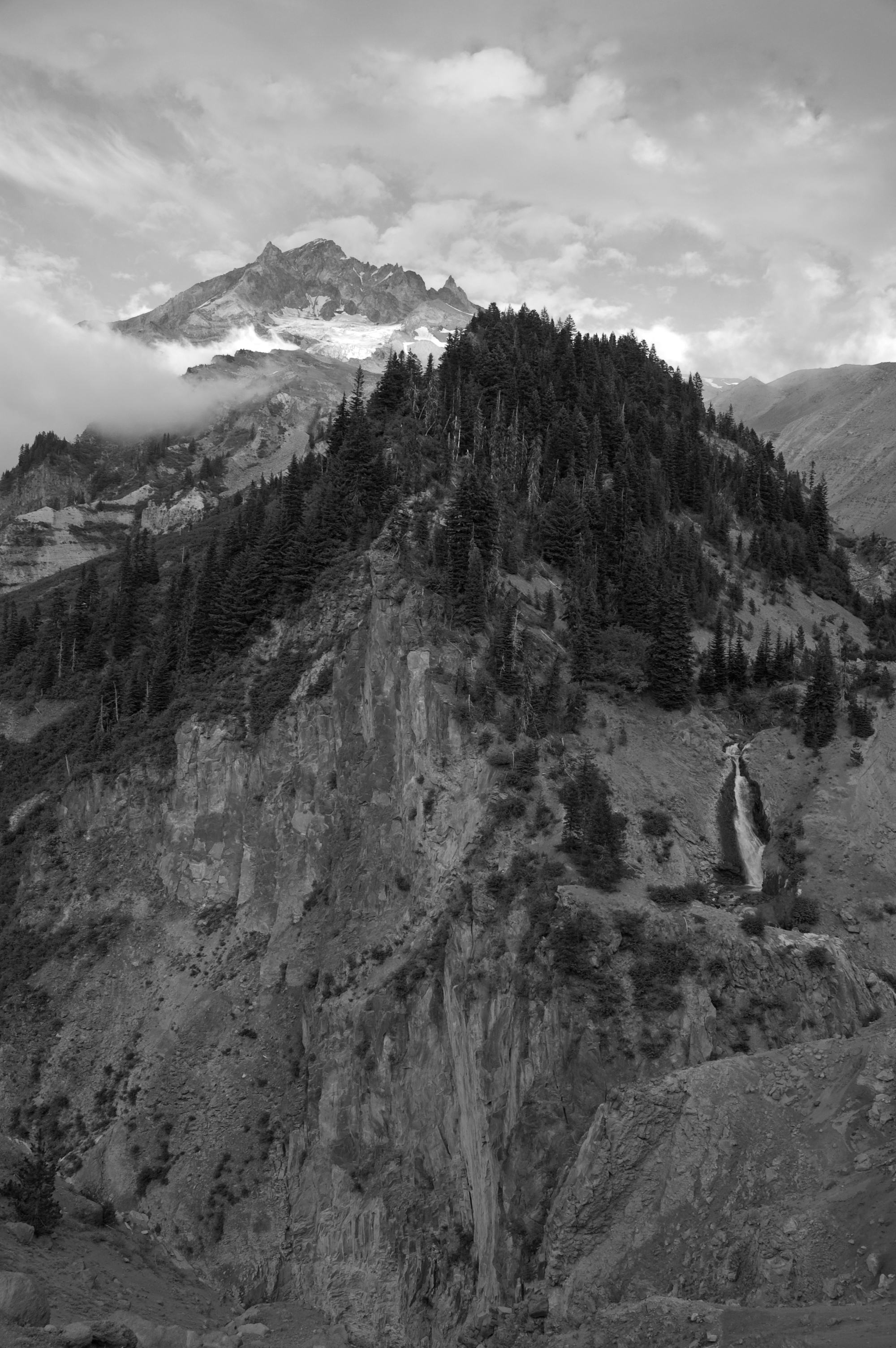
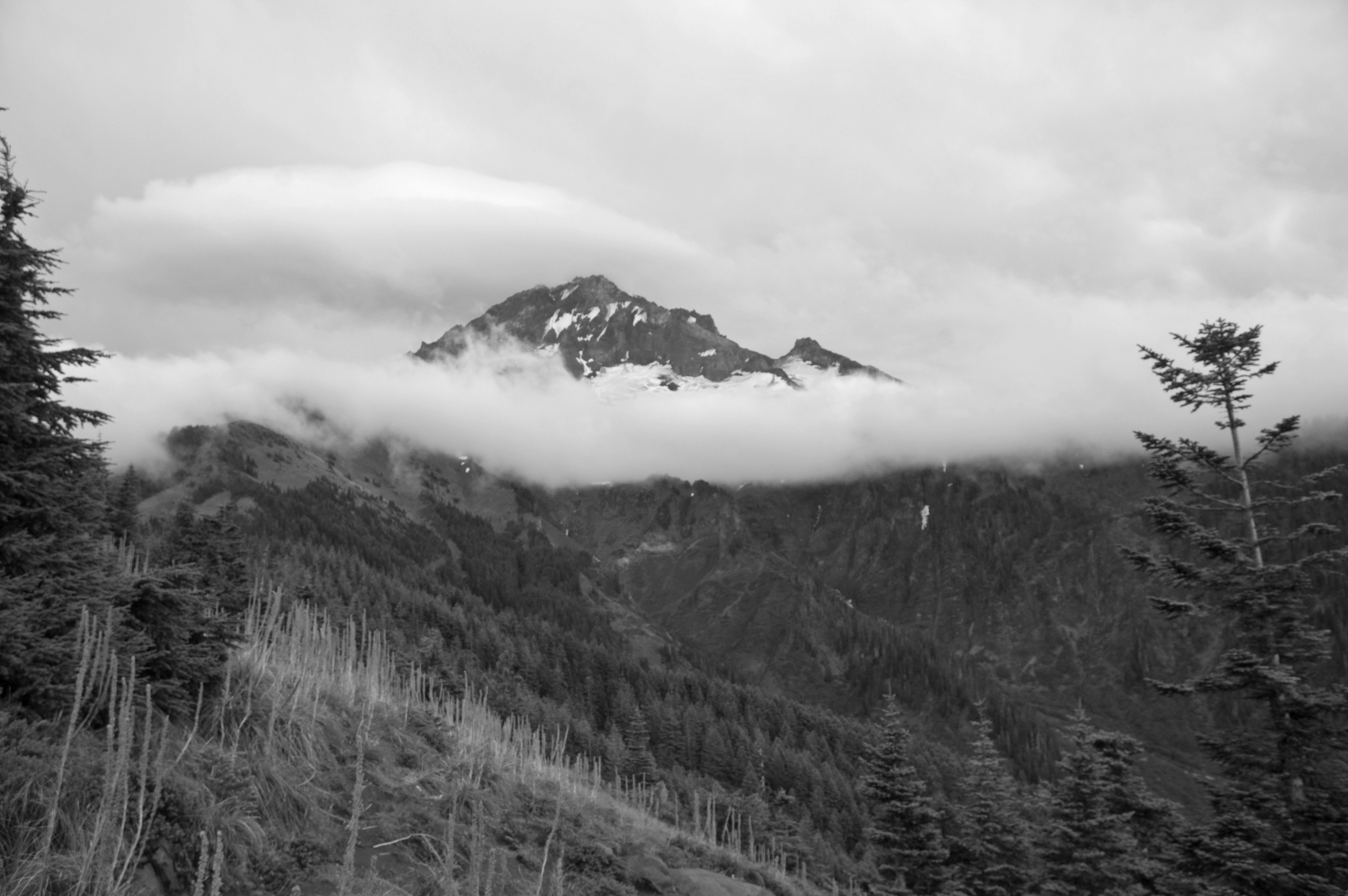
Our lone glimpse of the mountain for the day came just before we hit McNeil Point. By then, the rain had stopped altogether, and it felt good to take a load off and gaze up, even though it wasn’t the most comforting of mountain views.
Now, I have been in the rain before. Light drizzles, sudden downpours, one 24-hour deluge in the Gorge that sent Amy and me running for the car. I have been in whiteouts, too, wandering around Mount Adams for hours in search of camp, knowing that I was on the summit of Mount McGloughlin only because I had a GPS in hand. But the elements that blasted us on the Timberline Trail over the next 12 hours were among the most trying I’ve been through outside.
The cold rain started just beyond McNeil Point. It came down easy at first but soon soaked and chilled. There was a distant clap of thunder that we tried to ignore. We passed a big group crossing Ladd Creek who looked like they’d had enough already. On the other side of the creek, we topped our waters and pressed on, yet to be stifled by this tightening storm. The whipping wind, the chill, the water, it always has a way of invigorating me. Such conditions engage the senses so acutely that you can’t help but feel completely alive. Throw in the eerie scenery created by the fog and the remnants of the Dollar Lake fire, and the entire experience became nearly surreal.
No worries, however, as we were close to the stone shelter at Cairn Basin where, if we were lucky, we’d be able to step out of the rain, fire up the stoves, and regroup. It should have showed up any minute there as we marched on and on.
It never did.
When we stopped at the next trail junction and finally lifted our heads up, we realized we’d plowed right past Cairn Basin without ever seeing the shelter. By then, we were a mile beyond it.
Gigantic thunder clap.
Cold, soaked, and nervous, there was nothing to do but power on to Elk Cove and hope for the best.
We knocked off the mile-and-a-half or so to Elk Cove in relative silence — I think Morrison and Joanna maybe were chatting about the meter of some line in some poem — and in no time came to the sign I remembered directing us left to the campsites off in the woods on the edge of the meadow. Ideal thoughts of a couple empty sites sheltered by fir bows deflated as we strolled up to find two other campers already buttoned up in what should have been our spots. We chatted briefly, scoured the surrounding area for a plan B, then came back and, in so many words, crashed the party.
Thankfully our hosts, Angela and Heather, were incredibly inviting and accommodating, sharing not only stories but hot chocolate and hand warmers as we rushed to set up our tents in the pouring rain and swelling puddles. There would be no dinner that night, no cocktail hour, no star gazing. I know my main goal was to get out of the rain and get dry. It was not an easy thing to do. My pack was soaked, as was just about everything in it: sleeping bag, long underwear, fleece. I for some reason have always scoffed at the pack cover, but there in my soggy tent, with a damp and heavy sleeping bag and a fleece that felt like it’d just come out of a washing machine, I saw the light. My night — all of our nights — would have been a lot different if we’d had them.
We didn’t, though, and so we spent 12 wet, cold hours wishing for a little relief from the morning and catching soggy fits of sleep. I have spent many a night outside, and I can say with full certainty that this was one of the very worst I have ever endured. I am usually one to accept and endure, to find something positive to see me through. On this night, I just about surrendered and accepted the despair. Just about.
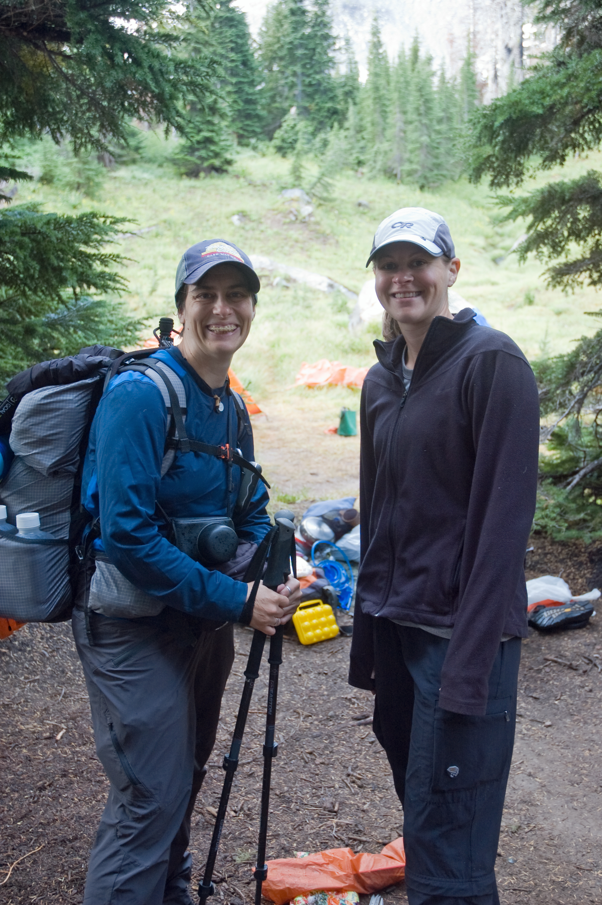
They may not know it, but Heather and Angela helped save the day for us. Their willingness to let us crash their space, their eagerness to share advice and hot drinks and friendly voices — I never even saw the friendly face that matched Angela’s sweet voice until she unzipped her tent the next morning — added the best possible end to the afternoon that we could have hoped for. Sometimes, a little unexpected optimism and some stripped down, genuine human interaction is all it takes to persevere.
Thankfully, day three dawned dry and, though not normal Oregon August, blue enough here and there to allow a regroup.


Dried out as best as we could be, we hit the trail that morning an hour or so behind Heather and Angela, glad for the sun breaks and scenery. From Elk Cove east, the Timberline Trail winds endlessly in toward the mountain, over streams, back out over a ridge, and back in again, over and over. It’s repetitive, but it’s a kind of sameness that’s not hard to appreciate.

Though the weather was much more promising than it had been the day before, something else weighed on my mind, adding a touch of dread and uncertainty to the day: the Eliot Creek crossing. Back in 2005, the bridge over the creek had long been washed out, but getting across the creek was still manageable. But in 2006, a massive washout rearranged the terrain up there so much that the Forest Service rendered it off limits, thus eliminating any legal way of completing the entire Timberline Trail without setting up some lame car shuttle and bypassing the off-limits section.
But as the years passed, reports sprouted up that the crossing was again doable. Some said to go up high onto the Eliot Glacier itself to cross; others shared pictures of ropes down into and up out of the gully. Some hikers made it sound like it was no big deal; some turned back because they couldn’t make it across. Had we encountered something that turned us around, we had no plan B other than to stop and hoof it back to Timberline.
What we found when we finally made it to the edge of the crossing was not very encouraging.

Beyond that sign, however, was a very prominent trail, and it led (at least it did in August of 2013) very steeply to the way across the Eliot. We trudged up and up till a small clearing to the left revealed one of the rumored ropes illuminating the way down. Picking our way down one at a time took a while — the rock and scree are so loose that to descend in a group would invite unnecessary danger — and finding the right place to actually cross the creek added some time. In the end, however, crossing the Eliot was possibly more time-consuming than some of the other crossings, but it seemed no more perilous than anything else we did on the entire trail. That said, I crossed the actual creek three times to help shuttle packs, and I can safely say that no mountain stream has ever chilled my feet to the point of numbing pain the way the water of the Eliot did.

Instead of sticking to the Timberline Trail up out of the Eliot, we trudged up the incredible ridge on the creek’s east side, an exposed, amazing spine that puts the glacier and the mountain in full perspective. Up high, you can cross-country it over to the stone shelter below Cooper Spur, merge back in with the Timberline Trail, and head on around the northeast side of the mountain on your way to Gnarl Ridge.
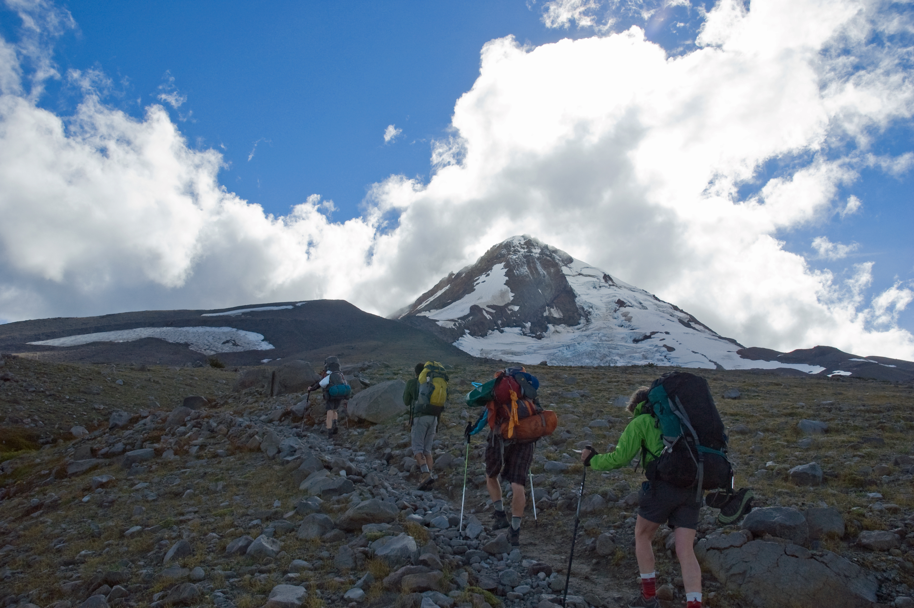
Breaking out onto the ridge gave us a taste of some burly, frigid winds. When, not a few minutes earlier, we had been stepping along in still air, now the winds whipped and gusted like freight trains, knocking us off balance and drowning us in the sounds of ocean surf.

We ticked off 10 miles this day, ending up in a campsite just across Newton Creek at dusk. Heather and Angela were just off in the woods nearby. Despite the long and late day, Morrison immediately whipped up one of the best and most memorable backcountry meals I’ve ever had: pasta with wild mushrooms and a red sauce with red wine. Talk about comfort.
The final day’s hike was a warm and sunny one; mild initially in terrain, marked by some musical conversations, a joke about the Pope driving a cab, and a couple startled grouses scaring the bejeezus out of Mark — and giving the rest of us a nice, big laugh.
Lunch as we passed through Meadows. We’d carried the SPAM the entire way, so I insisted on opening it.

From there, it was on to White River, the last major river crossing, which was little more than a step or two across, but amazing nonetheless.

I’ve always related how the hike up from White River to Timberline, even though it’s just a couple miles, is the longest of the Timberline Trail because you can see Timberline Lodge, the cars in the parking lot, the people milling about, almost the entire way. But the elevation and the sandy terrain and the fact that you’re knocking off the last 2 miles of a 41-mile trail somehow make all that distance last and last. By that point, there wasn’t a whole lot of chitchat. More of a determined march to get those last steps behind us, take the packs off, and savor the accomplishment. I remember passing the first tourists out for a little stroll east of Timberline and catching their curious glances as we clopped by, smelly and set on nothing more than being done hiking for the day.
And then, as we stepped and stepped our way up to Timberline Lodge, we were done with hiking for the day. A few people milled about, heads drooped to their phones, and someone in our group asked if that’s all we’d been missing. Maybe we should just turn around and do it again.
We didn’t though. We posed for a picture. We closed in as a group on our walk back to the cars, not wanting to invite anyone else in to break the spell and to just prolong that sense that we all were sensing. We’d been gone just four days, but being back felt different just then; odd, and as if we’d been overseas, somewhere foreign, and were just getting back.

Morrison had iced Tecates in the car, but on our way back to them, we heard voices from across the parking lot. Angela and Heather. We’d just caught up with them.
Then it was to the car, the asphalt in the parking lot, then the bar in Timberline. Inside, it all seemed so loud, so unnecessary, so threatening to the spell. Because that’s what comes once you’ve finished walking all the way around Mount Hood.
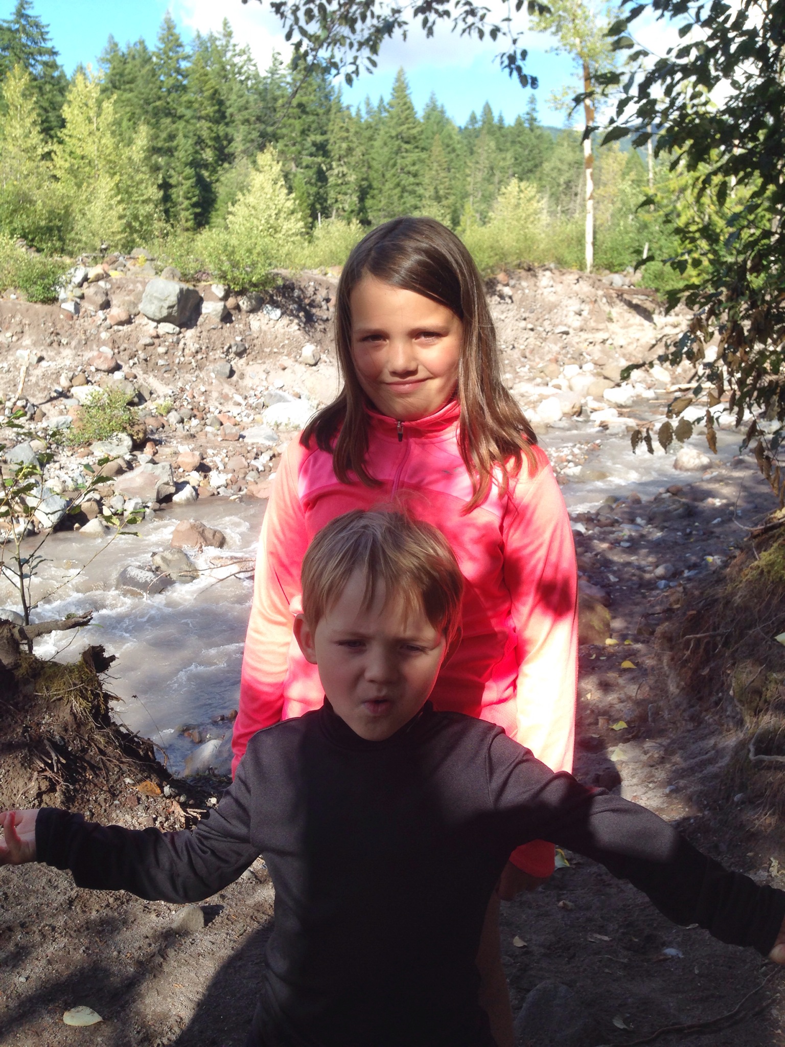
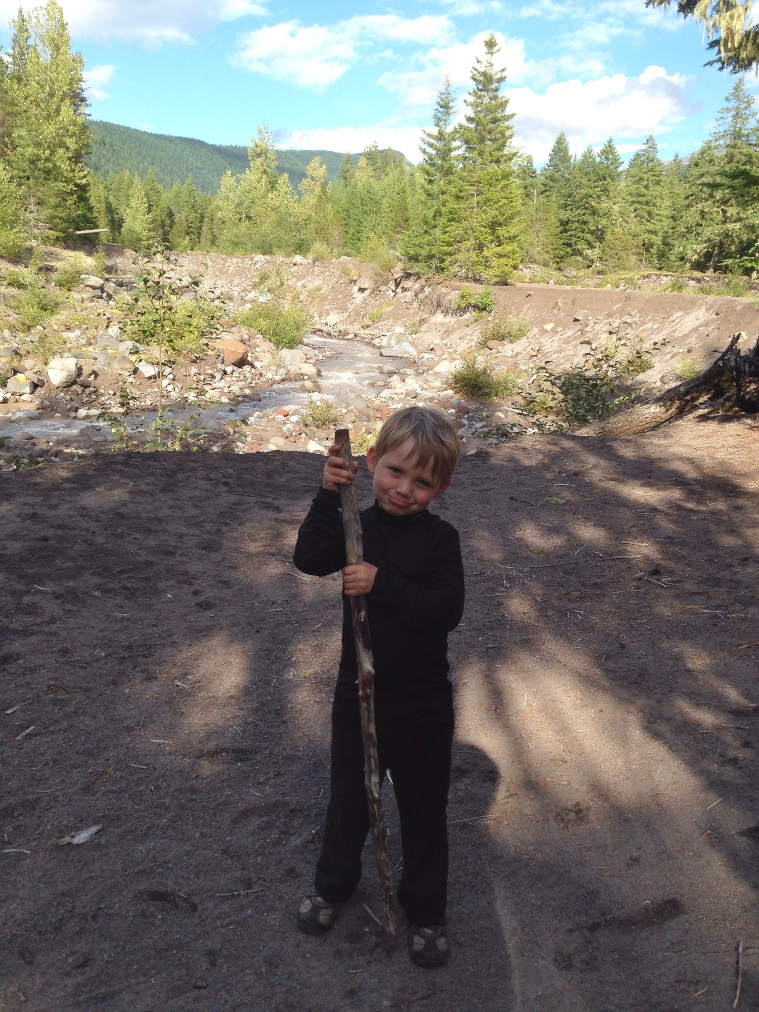
Endnote: I publish this now, nearly two years later, as the stubborn writers and I head back up to Mount Hood this week for another escape, this one more measured, possibly less epic and, hopefully, much drier.
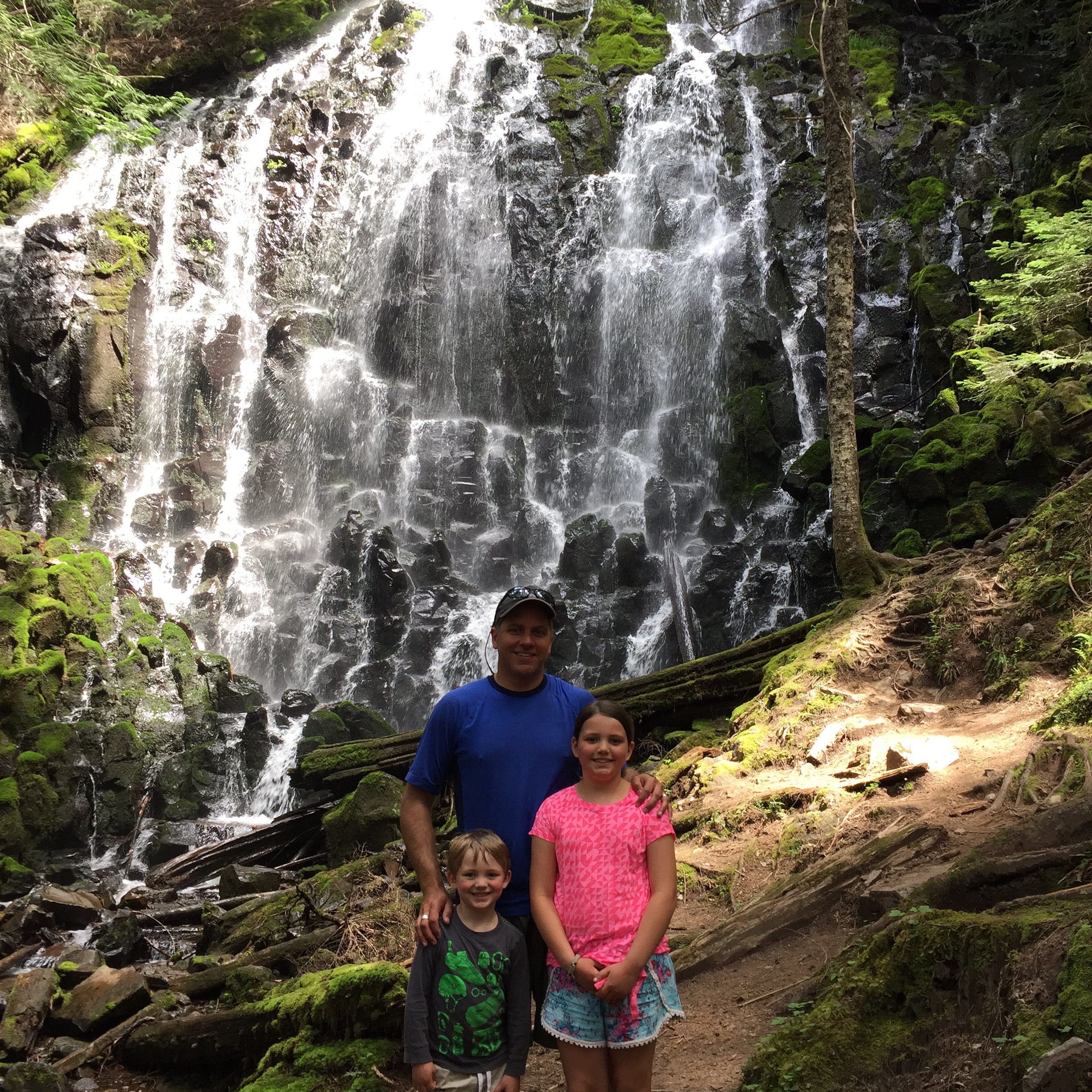
Hiking Ramona Falls with the kids
I may have fibbed just a little, telling them the hike to my favorite waterfall on Mount Hood was two easy miles.
But I figured the scenery along the way — the mountain views, the river, a stream or two — and the promise of just how majestic Ramona Falls truly is, would be enough to mask the real effort enough that my kids wouldn’t notice. The hike is actually closer to 3.5 miles one-way. In my defense, however, it’s been long enough since I’ve done it that I didn’t really remember. What I did recall was that the effort was more than worth it.

So we set out up the trail on a Sunday morning, before 11 a.m. because we’d camped at the McNeil Campground the night before. I worried a little about the Sandy River crossing, as not only had the Forest Service not yet installed the bridge for the season, but someone actually got swept away there last summer during a flash flood of sorts. Not one to risk too much, I knew we would turn around if it was at all unsafe.
But when we got to the crossing, a natural bridge, complete with a handrail, greeted us, and so we crossed.
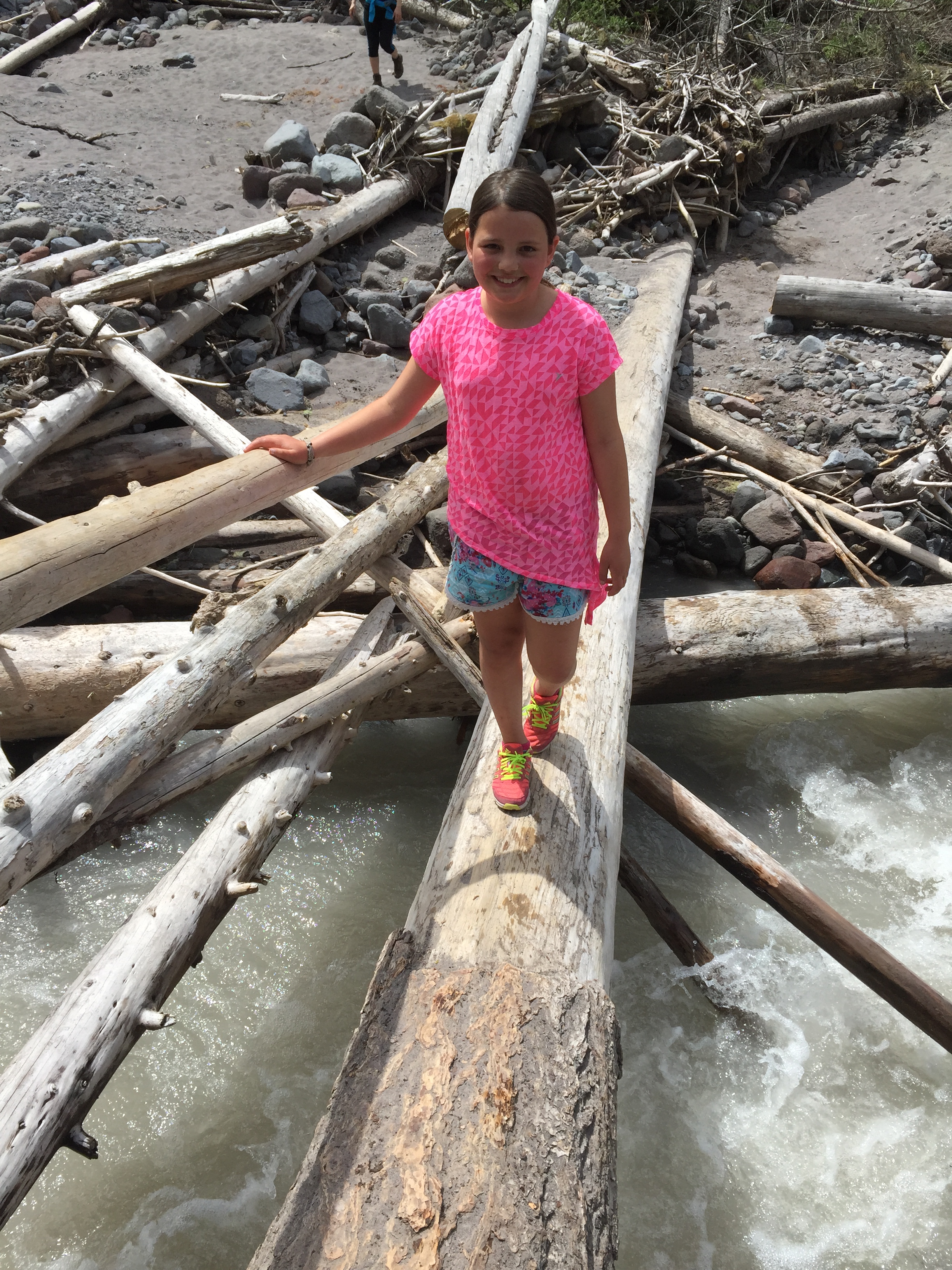
Some mixed messaging on the signage led us to take the somewhat longer leg of the loop, though in retrospect I don’t think it’s all that much longer. It’s about 7 miles roundtrip one way, 6.8 the other. When you’re low on water and trying to convince a 9-year-old and a 5-year-old that the most amazing waterfall is not that much farther, though, it seems like much more.
Even so, when we at last rolled up on the falls, they got it.
The first time I ever hiked to Ramona Falls, my first Mount Hood backpacking trip back in 1998, I remember how incredible the water from the falls tasted. Like the newest snow. Back then, we had a filter with us; this time around, we didn’t. It was a gamble, but we had played up the water to Madeline too much not to indulge; we filled our water bottles straight from the falls. It tasted just as I remembered.
The hike down was longer than the kids would have liked, but I enticed them with ice cream and a return to Trillium Lake to catch newts.
That sealed the deal for them, so the belly aching on the way back down was minimal. And yes, we went back to Trillium to catch even more newts than we’d caught the day before, so to them, it was worth it.

I, personally, was just glad that they got to take in Ramona Falls. It truly is an incredible sight to see. Two years ago, when I passed it on the Timberline Trail with a few writer friends, one of them, John Morrison, had described it as luminescent. Exactly.
And when, a few days later, Madeline took a drink from her water bottle on the way to her horse riding lesson and said she could still taste Ramona Falls, I knew our hike had made its mark.
On Mount Hood: The best of 2014
On we go into 2015, but not before a quick look back at some of my favorite Mount Hood times of the past year. Here’s to all of them — and to all those that lay ahead in the new year.
The End of Summer on Mount Hood
Well, not officially, anyway, but it was the last official weekend before the start of school, so that’s a kind of ending at least.
We sent the last school-free part of summer off in style with a weekend on the mountain at our regular Sandy River hot spot. Surprisingly, not only was one of the prime campsites actually available on Labor Day Weekend, but it actually wasn’t a pigsty when we rolled up. The stars were aligned for us, I suppose.

The rain did little to dampen the spirits, nor could it interfere in the slightest with all the huckleberries that needed picking.

The sun returned in time for an afternoon hike along the Sandy River toward Ramona Falls.
We didn’t make it to the falls — hadn’t planned to — but turned around where the trail crosses the Sandy River. It was here, a few weeks ago, that a flash flood washed out a bridge, swept away one hiker and stranded 23 others.
We tried not to dwell on that too long but instead enjoy the walk and the woods and the water. We did.
The last few hours of the weekend we spent up at Timberline Lodge, where the Mountain Music Festival was in full swing. Eli West & Cahalen Morrison offered some sweet old-time harmonies, while the Black Lillies, who we’d just glimpsed at Pickathon last month, brought some tasty country flavor to the high alpine meadows surrounding the lodge.
Not a bad way at all to (kind of) end the summer, though it’s not truly over yet . . .

Saving the Sandy River
The Sandy River starts high up on Mount Hood as runoff from the Reid Glacier, gathering side streams and the Salmon and Zigzag rivers on its way to the Columbia. It’s a wild river that’s played a big role in how we’ve enjoyed the mountain over the years, whether we’ve been crossing it on the Timberline Trail, camping alongside or cooling off in its silty waters high up, or exploring its confluence with the mighty Columbia at the west end of the Gorge.


The Sandy is a river that a lot of people care about, including the Western Rivers Conservancy, which over the past few years has done much to protect the river. In 1999, the nonprofit partnered with Portland General Electric to help restore the Sandy and the Little Sandy, which led, in part, to the removal of the Marmot Dam and returned both rivers to complete free-flowing status. The conservancy has also purchased properties along the Sandy to help ensure its protection.
A few weeks ago, the WRC contacted me to see if they could use one of my Sandy River photos for a commemorative poster they were issuing. The poster commemorated the 50th anniversary of the Land and Water Conservation Fund, which has provided funding to WRC over its decade-long effort to create a wildlife and recreational corridor along 13 miles of the Sandy and the Little Sandy.
The picture they used of mine was from our trip on the Timberline Trail last summer, right when we were crossing the Sandy, Mount Hood in the background, with a Pacific Crest Trail hiker who was four months into his trek.
When I heard about what the WRC has done for the Sandy over the years, of course I sent the picture over right away. That, indeed, is work that’s worth it.